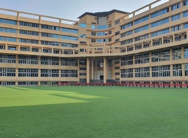
Location & Projects
 Building & Flat
 Back
BackProject Address
| City | Thane |
| Zone | Thane West |
| Locality | Owle Manpada Kolshet |
| Sub-Locality | Mogarpada |
| Pin Code | 400615 |
| Post Office | NA |
| Police Station | Kasarwadawali Police Station |
Administrative Coordinates
| State/UT | Maharashtra |
| District | Thane |
| Division | Konkan |
| Taluka | Thane |
| Village | Thane (m Corp.) |
| Street | Mogharpada Village Road |
| Pin Code | 400615 |
| Locality Area | Mogharpada, 3200 |
Boundaries
| Boundaries - East Survey No 70 By 7 |
Boundaries - West Survey No 70 By 5 |
Boundaries - North Survey No 53 By 6 |
Boundaries - South Survey No 70 By 4 |
| Survey No / CTS No / Plot Bearing No / Final Plot No. 70/6, 53/6 |
Map Address
Owale, Thane West, Thane, Maharashtra 400615

Brochure Address
Owale, Thane West, Thane, Maharashtra 400615

Municipal Corporation / Council & Ward
Thane Municipal Corporation
NA

Physical Infrastructure
Medical Care
Vedant Multispeciality Hospital
1.3 km
Educational Institutes
New Horizon Scholar's School
1.8 km
Retail & Supermarkets
D Mart, Ghodbunder Rd
2.2 km
International Airport
Chhatrapati Shivaji Maharaj International Airport
30.3 km
Bus Station
Owala Naka
800 m
Railway Station
Thane Railway Station
10.9 km
Highways & Roadways
Ghodbunder Rd
1.5 km
View More
View Less
Social Infrastructure
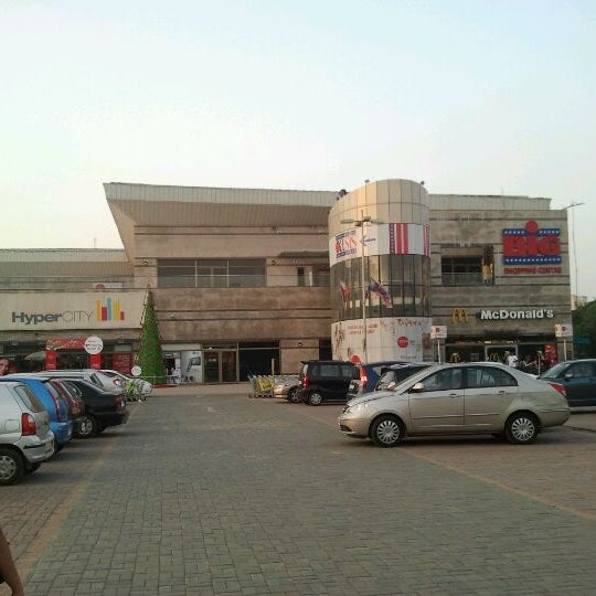
Malls & Entertainment
Big Centre Thane
1.9 km
Commercial Infrastructure
Business Districts
| BKC | 32.3 km |
| Nariman Point / Fort | 47.8 km |
| Andheri East | 30.3 km |
| Thane | 7 km |
| Lower Parel | 38.3 km |
| G Corp, Ghodbunder Rd | 2.0 km |
 Locality & Neighbourhood
 Locality & Neighbourhood
|
|
Not prone to traffic jams
|
|
|
35
|
|
|
0 to 50 dB
|
|
|
The surrounding area is clean. No presence of nalas /slums /gutters /sewers
|
|
|
IOD + CC
|
Contact Details
| Organisation Name ( Builder's Name) | NA | Organisation Type | NA |
| Website URL | NA | Office Number | NA |
| Description Of Other Type Of Organisation | NA | ||
Address Details
| Block Number | NA | Building Name | NA |
| Street Name | NA | Locality | NA |
| Landmark | NA | Division | NA |
| Pin Code | NA | Taluka | NA |
| State /UT | NA | District | NA |
| Village | NA |
| Consultant Type | As per Brochure | As per RERA |
|---|