Location & Projects
 Building & Flat
 Back
BackProject Address
| City | Mumbai City |
| Zone | Eastern Suburbs |
| Locality | Mulund (west) |
| Sub-Locality | NA |
| Pin Code | 400080 |
| Post Office | Mulund West |
| Police Station | NA |
Administrative Coordinates
| State/UT | Maharashtra |
| District | Mumbai Suburban |
| Division | Konkan |
| Taluka | Kurla |
| Village | Kurla |
| Street | L B S Marg |
| Pin Code | 400080 |
| Locality Area | Nahur, 1219.21 |
Boundaries
| Boundaries - East Layout Rg |
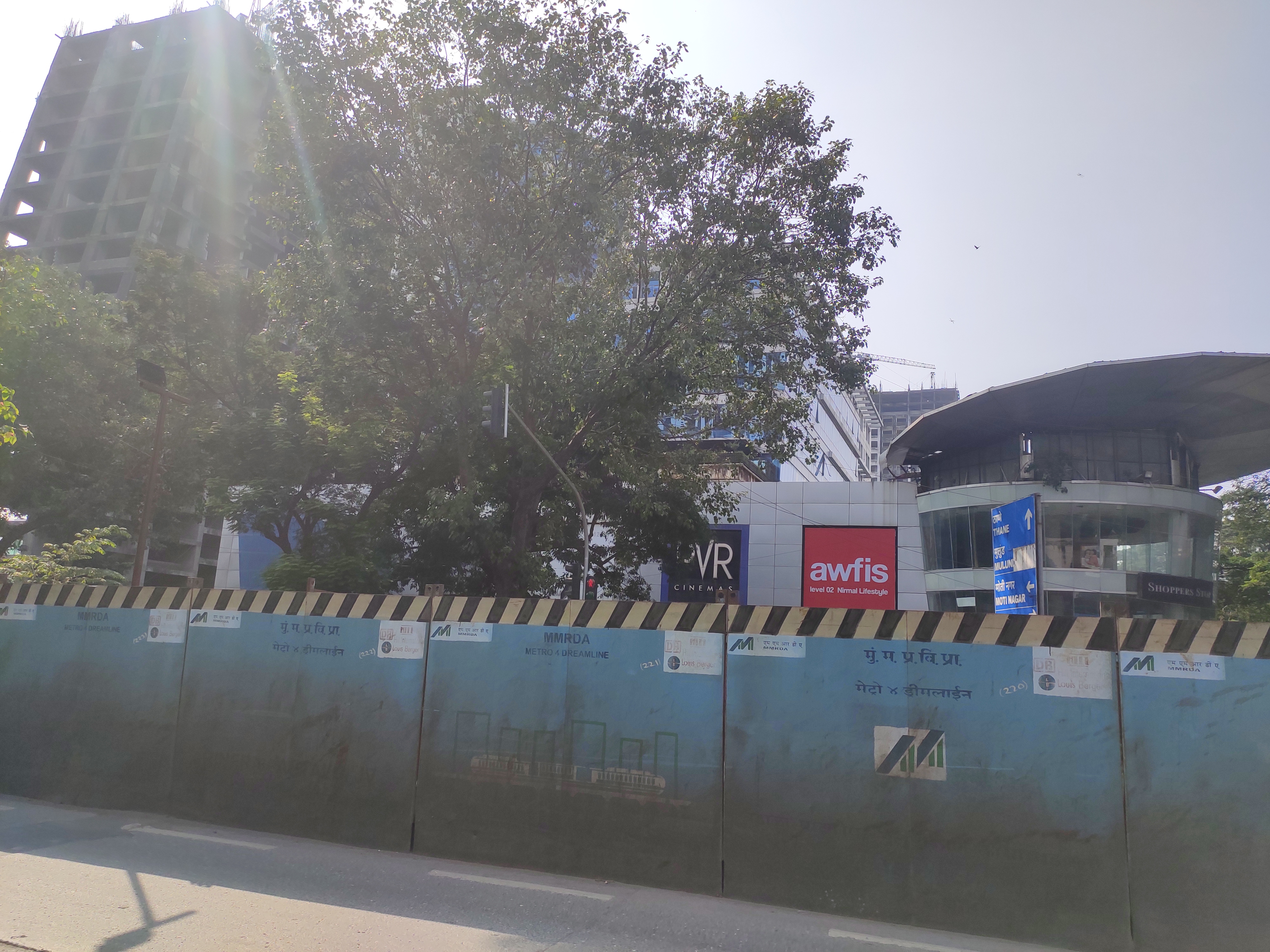
Boundaries - West Wing H Proposed Commercial Building |
Boundaries - North 18 Meter 30 Cm D P Road |
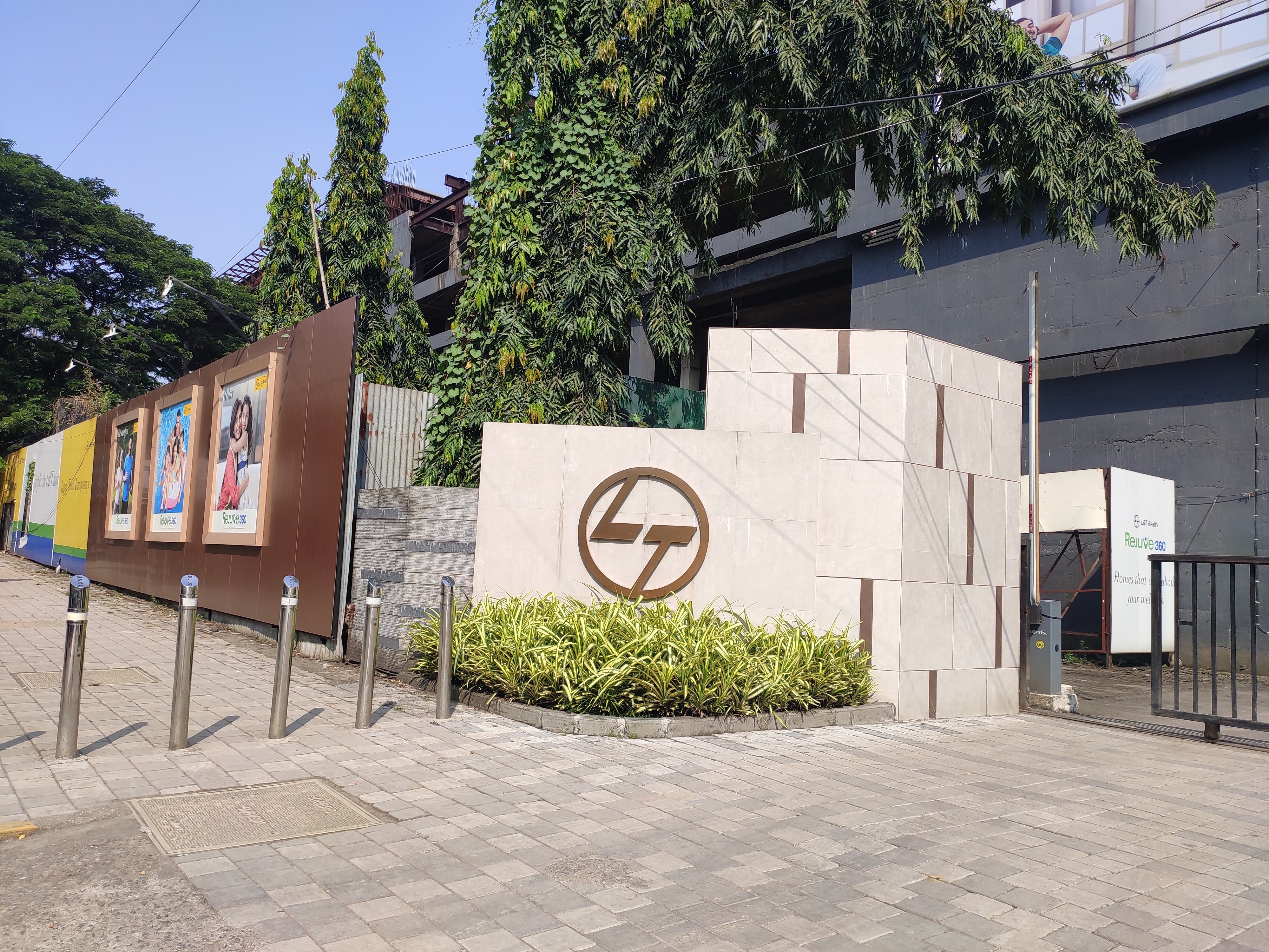
Boundaries - South Proposed Rejuve 360 Tower B |
| Survey No / CTS No / Plot Bearing No / Final Plot No. Cts No. Part 706-b/b, Part 706-b/d, Part 706-b/e, Part 710a, Part 712a |
Map Address
Sales Office, 706-B, Lal Bahadur Shastri Rd, opposite Nirmal Lifestyle Mall, Mulund West, Mumbai, Maharashtra 400080

Brochure Address
C-207, Purushottam Kheraj Rd, Sarvodaya Nagar, Mulund West, Mumbai, Maharashtra 400080

Municipal Corporation / Council & Ward
Municipal Corporation Of Greater Mumbai
Ward T

Physical Infrastructure
Medical Care
Fortis Hospital Mulund
1 km
Educational Institutes
St. Marry Convent High School
1.5 km
Retail & Supermarkets
D-mart
1 km
International Airport
Chhatrapati Shivaji International Airport
13.4 km
Bus Station
Sonapur Old Bus Stand
210 m
Railway Station
Mulund Railway Station
2.7 km
Highways & Roadways
Eastern Express Highway
3 km
Educational Institutes
Mulund College Of Commerce
2.9 km
Educational Institutes
Vaze College Of Arts, Science & Commerce
4.9 km
View More
View Less
Social Infrastructure
Malls & Entertainment
R Mall
2.5 km
Commercial Infrastructure
Business Districts
| BKC | 14.8 km |
| Nariman Point / Fort | 36.1 km |
| Andheri East | 18.6 km |
| Thane | 8.4 km |
| Lower Parel | 26 km |
| Navi Mumbai | 22.3 km |
 Locality & Neighbourhood
 Locality & Neighbourhood
 Locality & Neighbourhood
|
|
Not prone to traffic jams
|
|
|
78
|
|
|
51 to 85 dB
|
|
|
The surrounding area is clean. No presence of nalas /slums /gutters /sewers
|
|
|
IOD + CC
|
Contact Details
| Organisation Name ( Builder's Name) | NA | Organisation Type | NA |
| Website URL | NA | Office Number | NA |
| Description Of Other Type Of Organisation | NA | ||
Address Details
| Block Number | NA | Building Name | NA |
| Street Name | NA | Locality | NA |
| Landmark | NA | Division | NA |
| Pin Code | NA | Taluka | NA |
| State /UT | NA | District | NA |
| Village | NA |
| Consultant Type | As per Brochure | As per RERA |
|---|