Location & Projects
 Building & Flat
 Back
BackProject Address
| City | Mumbai City |
| Zone | Eastern Suburbs |
| Locality | Bhandup (west) |
| Sub-Locality | Bhandup Industrial Estate |
| Pin Code | 400078 |
| Post Office | Bhandup Ind. Estate |
| Police Station | NA |
Administrative Coordinates
| State/UT | Maharashtra |
| District | Mumbai Suburban |
| Division | Konkan |
| Taluka | Kurla |
| Village | Kurla |
| Street | Lbs Marg |
| Pin Code | 400078 |
| Locality Area | Bhandup(w), 1831.43 |
Boundaries
| Boundaries - East Tower 8 And Central Railway |
Boundaries - West Amenity Plot And Proposed Development |
Boundaries - North Tower 1- Tower 5 |
Boundaries - South Central Railway |
| Survey No / CTS No / Plot Bearing No / Final Plot No. Pt.596-598,599a,601-606,607a607d596/1-6,597/1-7,598/1-3,599a/1-81,602/1-9,605/1-17,606/1-83,607/1-31 |
Map Address
Runwal Forests, near Mangatram Petrol Pump, Bhandup West, Mumbai, Maharashtra 400078

Brochure Address
Near Mangatram Petrol Pump Lal Bahadur Shastri Marg, Kanjurmarg (west), Mumbai - 400078

Municipal Corporation / Council & Ward
Municipal Corporation Of Greater Mumbai
Ward S

Physical Infrastructure
Medical Care
Fortis Hospital Mulund, Mulund Goregaon Link Rd, Nahur West, Industrial Area, Bhandup West, Mumbai, Maharashtra 400078
4.7 km
Educational Institutes
St Xavier's High School & Jr College, Lal Bahadur Shastri Rd, Kanjurmarg West, Bhandup West, Mumbai, Maharashtra 400078
600 m
Retail & Supermarkets
D Mart, Damji Shamji Business Galleria, Next To Toyo House, Kanjurmarg West, Maharashtra 400078
1.2 km
International Airport
Chhatrapati Shivaji Maharaj International Airport
10.3 km
Bus Station
Birla Company, Lal Bahadur Shastri Rd, Ambedkar Nagar, Kanjurmarg West, Bhandup West, Mumbai, Maharashtra 400078
400 m
Railway Station
Kanjur Marg Station (w), Ambedkar Nagar, Kanjurmarg West, Bhandup West, Mumbai, Maharashtra 400078
1.2 km
Highways & Roadways
Eastern Express Hwy, Maharashtra
9.0 km
Domestic Airport
T1, Navpada, Chhatrapati Shivaji International Airport Area, Vile Parle, Mumbai, Maharashtra 400099
14.2 km
Metro Station
Vivo Ghatkopar, Shraddhanand Road-hirachand Desai Road Ghatkopar (w Near Ghatkopar Railway Station, Mumbai, Maharashtra 400086
6.7 km
View More
View Less
Social Infrastructure
Malls & Entertainment
R City Mall, Lal Bahadur Shastri Rd, Amrut Nagar, Ghatkopar West, Mumbai, Maharashtra 400086
5.3 km
Commercial Infrastructure
Business Districts
| BKC | 14.8 km |
| Nariman Point / Fort | 34.4 km |
| Andheri East | 11.5 km |
| Thane | 12.2 km |
| Lower Parel | 22.2 km |
 Locality & Neighbourhood
 Locality & Neighbourhood
 Locality & Neighbourhood
 Locality & Neighbourhood
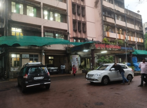 Locality & Neighbourhood
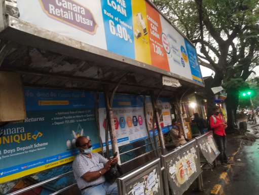 Locality & Neighbourhood
 Locality & Neighbourhood
|
|
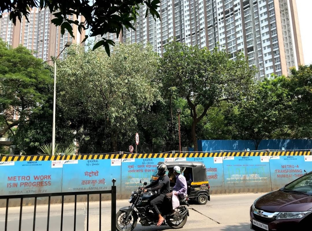
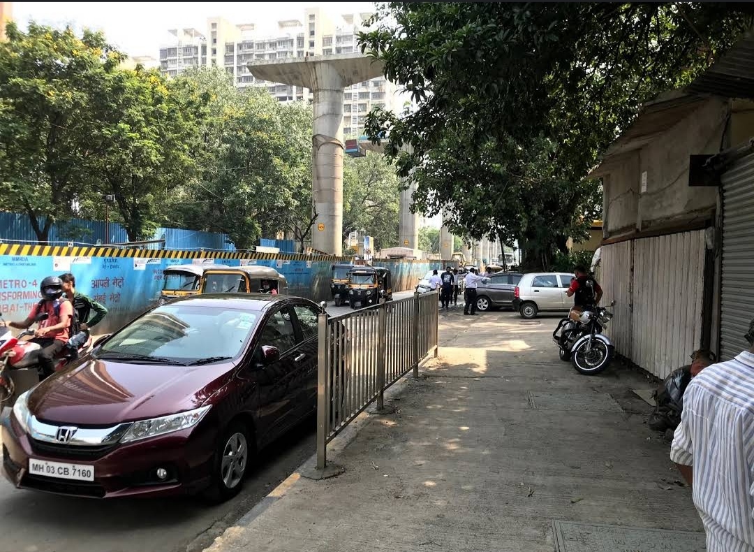
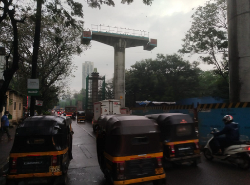
Prone to traffic jams during rush hour
|
|
|
65
|
|
|
0 to 50 dB
|
|
|
The surrounding area is clean. No presence of nalas /slums /gutters /sewers
|
|
|
IOD + CC
|
Contact Details
| Organisation Name ( Builder's Name) | NA | Organisation Type | NA |
| Website URL | NA | Office Number | NA |
| Description Of Other Type Of Organisation | NA | ||
Address Details
| Block Number | NA | Building Name | NA |
| Street Name | NA | Locality | NA |
| Landmark | NA | Division | NA |
| Pin Code | NA | Taluka | NA |
| State /UT | NA | District | NA |
| Village | NA |
| Consultant Type | As per Brochure | As per RERA |
|---|