Location & Projects
 Building & Flat
 Back
BackProject Address
| City | Mumbai City |
| Zone | Eastern Suburbs |
| Locality | Kanjurmarg (east) |
| Sub-Locality | Nehru Nagar |
| Pin Code | 400042 |
| Post Office | Bhandup East |
| Police Station | Kanjurmarg Police Station |
Administrative Coordinates
| State/UT | Maharashtra |
| District | Mumbai Suburban |
| Division | Konkan |
| Taluka | Kurla |
| Village | Kurla |
| Street | Indira Nagar |
| Pin Code | 400042 |
| Locality Area | Kanjurmarg East, 309.36 |
Boundaries
| Boundaries - East Arkade Earth - Gardenia |
Boundaries - West Arkade Earth - Ebony |
Boundaries - North C G Boundary |
Boundaries - South Arkade Earth - Bluebell |
| Survey No / CTS No / Plot Bearing No / Final Plot No. 1019 |
Map Address
4, Kanjur Village Rd, Saikrupa Society, Indira Nagar, Kanjurmarg East, Mumbai, Maharashtra 400042

Brochure Address
Arkade Earth, Junction Of Seth Govind Ram Jolly Marg & Kanjur Village Road, Off Jvlr, Kanjurmarg (e), Mumbai - 400 042

Municipal Corporation / Council & Ward
Municipal Corporation Of Greater Mumbai
Ward S

Physical Infrastructure
Medical Care
Fortis Hospital Mulund, Mulund - Goregaon Link Rd, Nahur West, Industrial Area, Bhandup West, Mumbai, Maharashtra 400078
5.1 km
Educational Institutes
St Xavier's High School & Jr College, Lal Bahadur Shastri Rd, Kanjurmarg West, Bhandup West, Mumbai, Maharashtra 400078
2.6 km
Retail & Supermarkets
D Mart, Damji Shamji Business Galleria, Next To Toyo House, Kanjurmarg West, Maharashtra 400078
2.4 km
International Airport
Chhatrapati Shivaji Maharaj International Airport
10.8 km
Bus Station
Tagore Nagar Junction / G.r Jolly Road
450 m
Railway Station
Kanjur Marg Station (w), Ambedkar Nagar, Kanjurmarg West, Bhandup West, Mumbai, Maharashtra 400078
2.3 km
Highways & Roadways
Eastern Express Hwy, Maharashtra
8.6 km
View More
View Less
Social Infrastructure
Malls & Entertainment
R City Mall, Lal Bahadur Shastri Rd, Amrut Nagar, Ghatkopar West, Mumbai, Maharashtra 400086
4.8 km
Commercial Infrastructure
Business Districts
| BKC | 11.2 km |
| Nariman Point / Fort | 28.7 km |
| Andheri East | 10.5 km |
| Thane | 13.2 km |
| Lower Parel | 20.6 km |
| Mindspace Airoli East | 12.3 km |
.jpeg) Locality & Neighbourhood
Locality & Neighbourhood
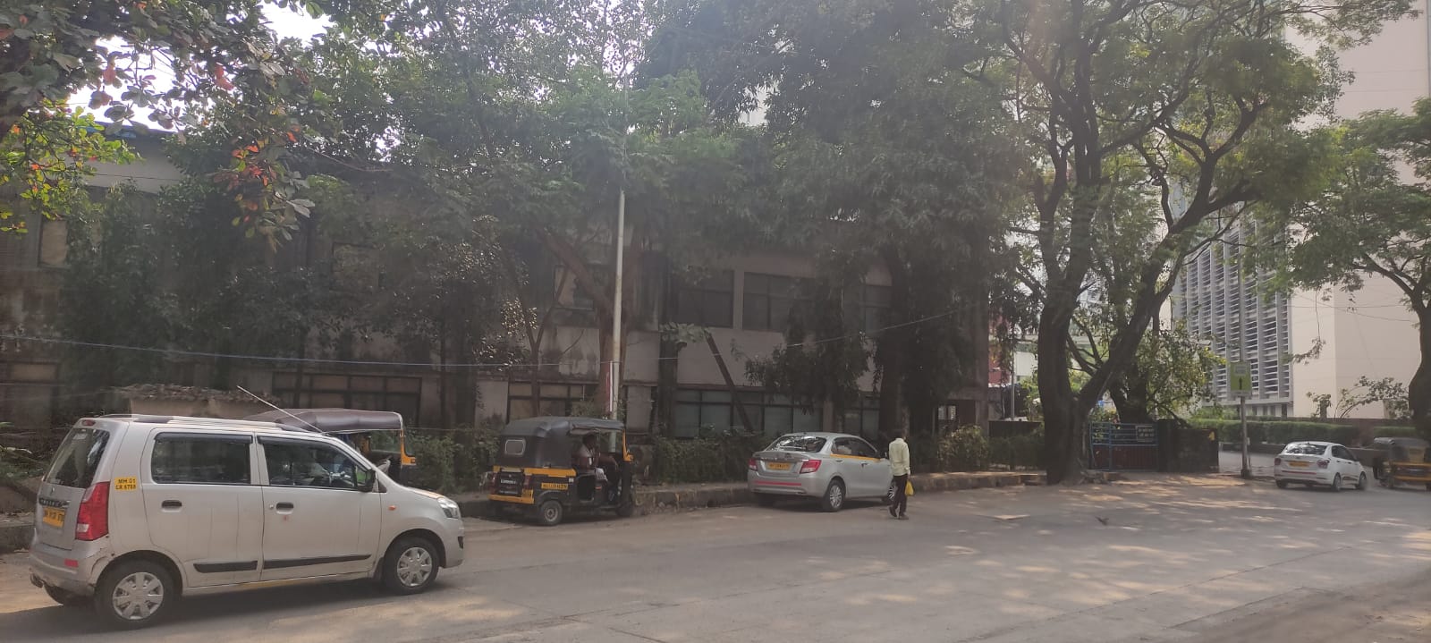 Locality & Neighbourhood
.jpeg) Fortis
Fortis
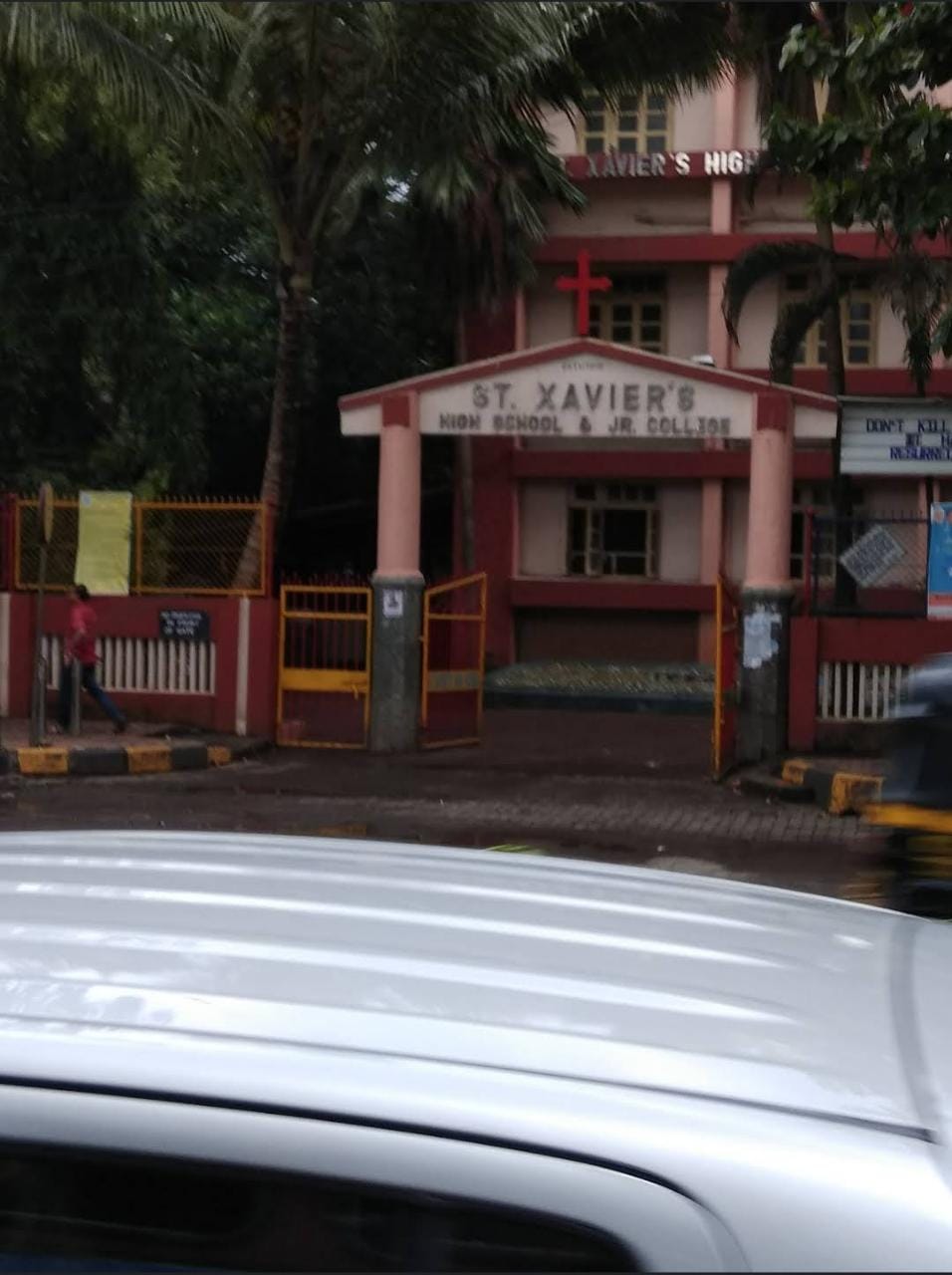 St Xavier's School
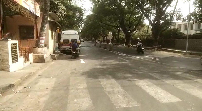 Locality & Neighbourhood
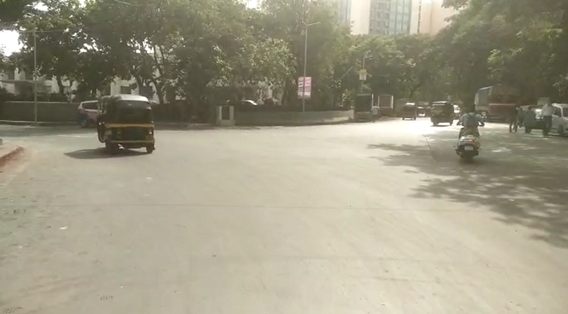 Locality & Neighbourhood
|
|
Prone to traffic jams during rush hour
|
|
|
72
|
|
|
51 to 85 dB
|
|
|
There are slums settlements near the project
|
|
|
Occupation Certificate
|
Contact Details
| Organisation Name ( Builder's Name) | NA | Organisation Type | NA |
| Website URL | NA | Office Number | NA |
| Description Of Other Type Of Organisation | NA | ||
Address Details
| Block Number | NA | Building Name | NA |
| Street Name | NA | Locality | NA |
| Landmark | NA | Division | NA |
| Pin Code | NA | Taluka | NA |
| State /UT | NA | District | NA |
| Village | NA |
| Consultant Type | As per Brochure | As per RERA |
|---|