Location & Projects
 Building & Flat
 Back
BackProject Address
| City | Thane |
| Zone | Thane West |
| Locality | Owle Manpada Kolshet |
| Sub-Locality | Brahmand |
| Pin Code | 400607 |
| Post Office | Chitalsar Manpada |
| Police Station | NA |
Administrative Coordinates
| State/UT | Maharashtra |
| District | Thane |
| Division | Konkan |
| Taluka | Thane |
| Village | Thane (m Corp.) |
| Street | Off: Pokhran Road No Ii |
| Pin Code | 400610 |
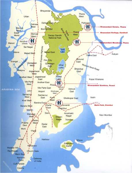
| Locality Area | Hiranandani Meadows, 527.44 |
Boundaries
| Boundaries - East Gut No 42 |
Boundaries - West Gut No 52 By 13 |
Boundaries - North Gut No 45 |
Boundaries - South Gut No 52 By 13 |
| Survey No / CTS No / Plot Bearing No / Final Plot No. Village Chitalsar Manpada Gut No 52/8 Pt, 52/14 |
Map Address
Iris ,Manpada, Thane West, Thane, Maharashtra 400607

Brochure Address
Hiranandani Business Park, Thane

Municipal Corporation / Council & Ward
Thane Municipal Corporation
NA

Physical Infrastructure
Medical Care
Jupiter Hospital
3.4 km
Educational Institutes
Dav Public School
1.1 km
Retail & Supermarkets
International Airport
Chatrapati Shivaji International Airport
35.3 km
Bus Station
Railway Station
Thane Railway Station
6 km
Highways & Roadways
View More
View Less
Social Infrastructure
Malls & Entertainment
R Mall
1.7 km
Commercial Infrastructure
Business Districts
| BKC | 27.2 km |
| Nariman Point / Fort | 44.4 km |
| Andheri East | 25.4 km |
| Thane | 1.9 km |
| Lower Parel | 34.5 km |
| MIDC Chakala | 24.6 km |
 Locality & Neighbourhood
|
|
-
|
|
|
-
|
|
|
-
|
|
|
-
|
|
|
-
|
Contact Details
| Organisation Name ( Builder's Name) | NA | Organisation Type | NA |
| Website URL | NA | Office Number | NA |
| Description Of Other Type Of Organisation | NA | ||
Address Details
| Block Number | NA | Building Name | NA |
| Street Name | NA | Locality | NA |
| Landmark | NA | Division | NA |
| Pin Code | NA | Taluka | NA |
| State /UT | NA | District | NA |
| Village | NA |
| Consultant Type | As per Brochure | As per RERA |
|---|